Core Tech Module 01
3D SLAM LiDAR Navigation Stack
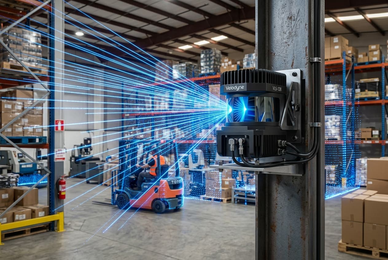
Trackless, infrastructure-free navigation system that constructs real-time 3D point cloud maps of facility layouts with sub-centimeter accuracy without magnetic tape or reflectors.
Key Capabilities
Real-Time Point Clouds
Scans plant features at 100 Hz, adapting dynamically to layout changes.
Sub-Centimeter Positioning
Achieves ± 5mm repeatability for automated drop-off and docking.
Zero Infrastructure Cost
No floor grooving, reflectors, or magnetic tape required.